Show the code
knitr::include_graphics(here("images/journal-of-g-washington-1754.jpg"))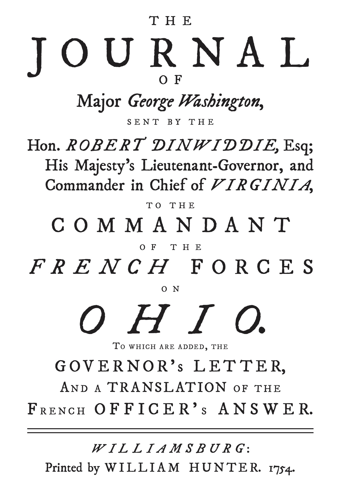
This document is in draft.
Where am I exactly on the earth? This is not a new question–or an easy one to answer accurately. For close to 300 years surveyors have been crisscrossing the North American lands that Europeans have settled on. Where there is Western civilization there is ownership and government, both requiring accurate borders.
The most famous American surveyor is undoubtedly George Washington. He surveyed parts of the western frontier of Virginia (now Culpeper, Frederick and Hampshire Counties) and the town of Alexandria, Virginia (near modern-day Washington D.C., which was founded and named in his honor many decades later). During the French and Indian War he sketched a map of his travels in what is now western Pennsylvania,1 which was published with his journal of that trip.2
knitr::include_graphics(here("images/journal-of-g-washington-1754.jpg"))knitr::include_graphics(here("images/Detail-from-Jefferson-map-300dpi.png"))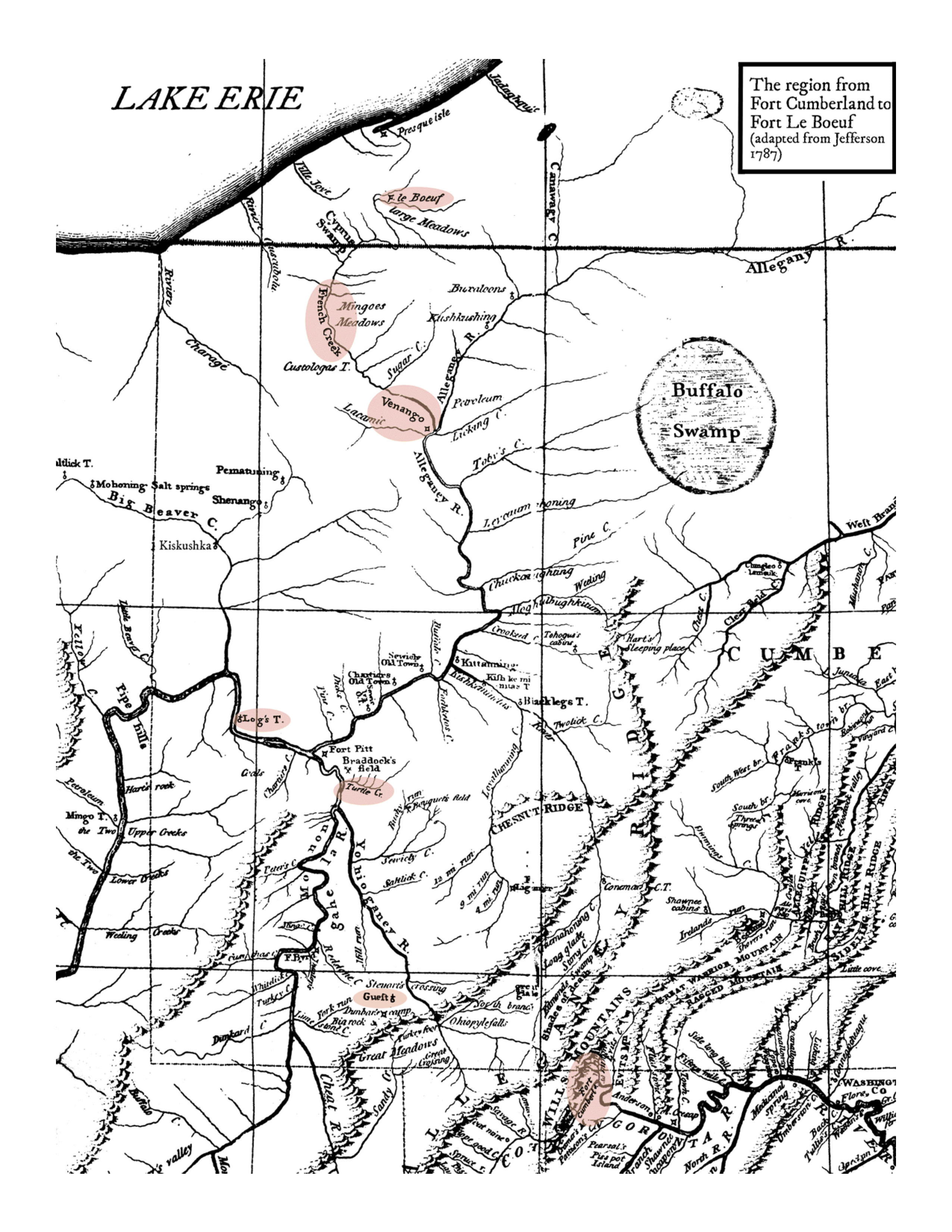
After a surveying crew working as agents for the National Geodetic Survey (NGS) put in lot of work to find an accurate location, they place a mark to indicate the location and record the details in the NGS database. This makes it much less effort and expense to find an accurate location there or nearby in the future. Today the NGS manages the U.S. National Spatial Reference System, which includes more than 1.5 million survey points.
Each of these survey marks provides one or more types of very accurate survey data. This data may include: latitude, longitude, elevation, magnetic, and gravity values….Surveyors, engineers, planners, mappers, and scientists use these survey marks to give their work accurate geographical reference and connection to the national survey network, called the National Spatial Reference System (NSRS). Because the NSRS provides the fundamental positional framework for the nation’s buildings, roads, utilities, and boundaries, we all ultimately benefit from their proper use.3
Marks are designed to last, however their accuracy (and existence) over time is not assured.
Thus the sad story of mark FY3210.
Washington as Public Land Surveyor https://www.loc.gov/collections/george-washington-papers/articles-and-essays/george-washington-survey-and-mapmaker/washington-as-public-land-surveyor/ ↩︎
The Journal of Major George Washington (1754). George Washington. 1754. DigitalCommons@University of Nebraska - Lincoln. Libraries at University of Nebraska-Lincoln Electronic Texts in American Studies. https://digitalcommons.unl.edu/etas/33/ ↩︎
BOTTLES, POTS, & PANS? – MARKING THE SURVEYS OF THE U.S. COAST & GEODETIC SURVEY AND NOAA. CDR George E. Leigh, NOAA Corps (Ret’d.). Published June 2018. Page 40. https://www.ngs.noaa.gov/wp-content/uploads/2018/06/Survey_Mark_Art-2.pdf ↩︎